
*For your convenience, all of the links on this page will open in a new browser window (or tab). To return here, just close the new window.
Web Cams
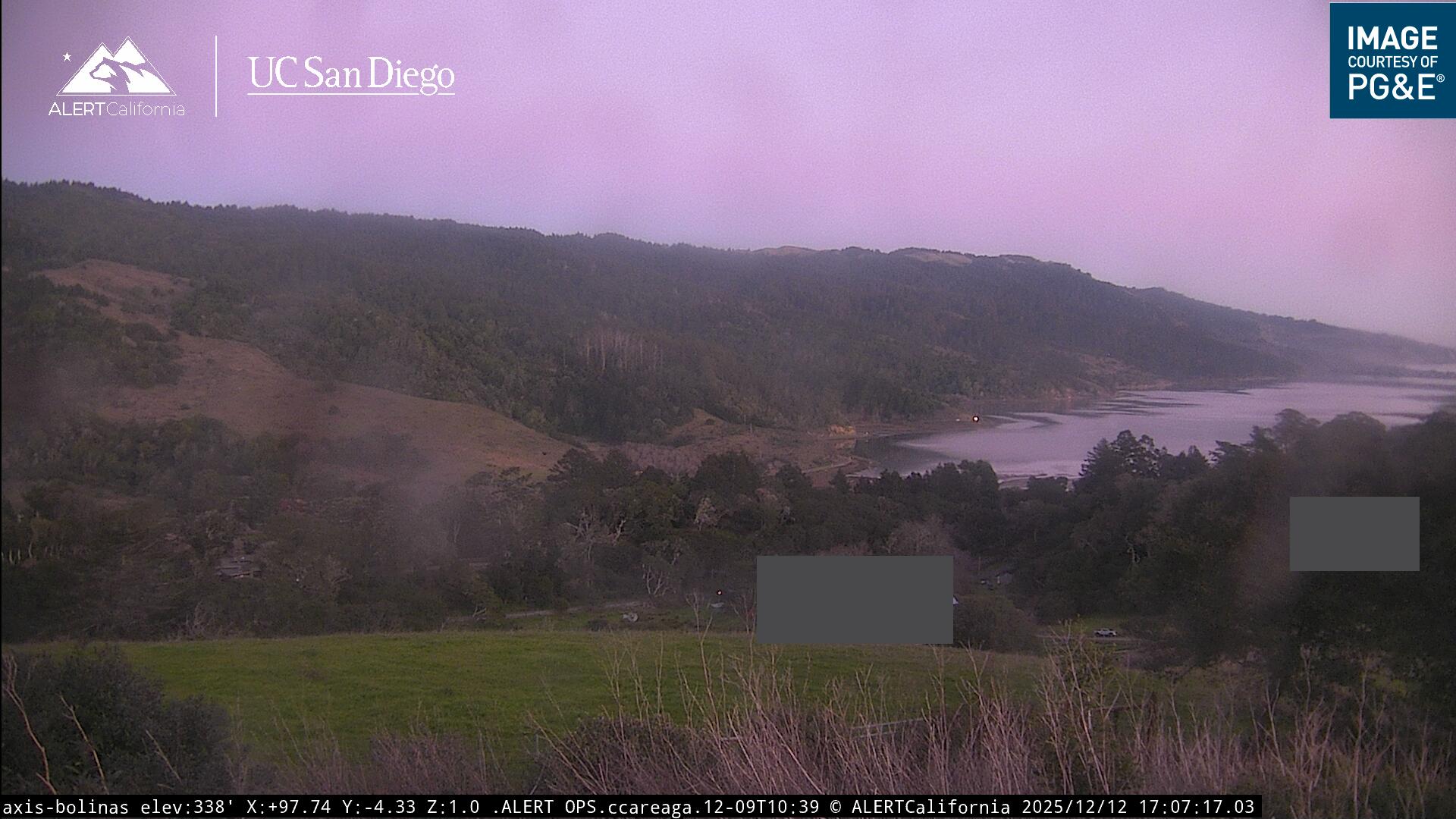
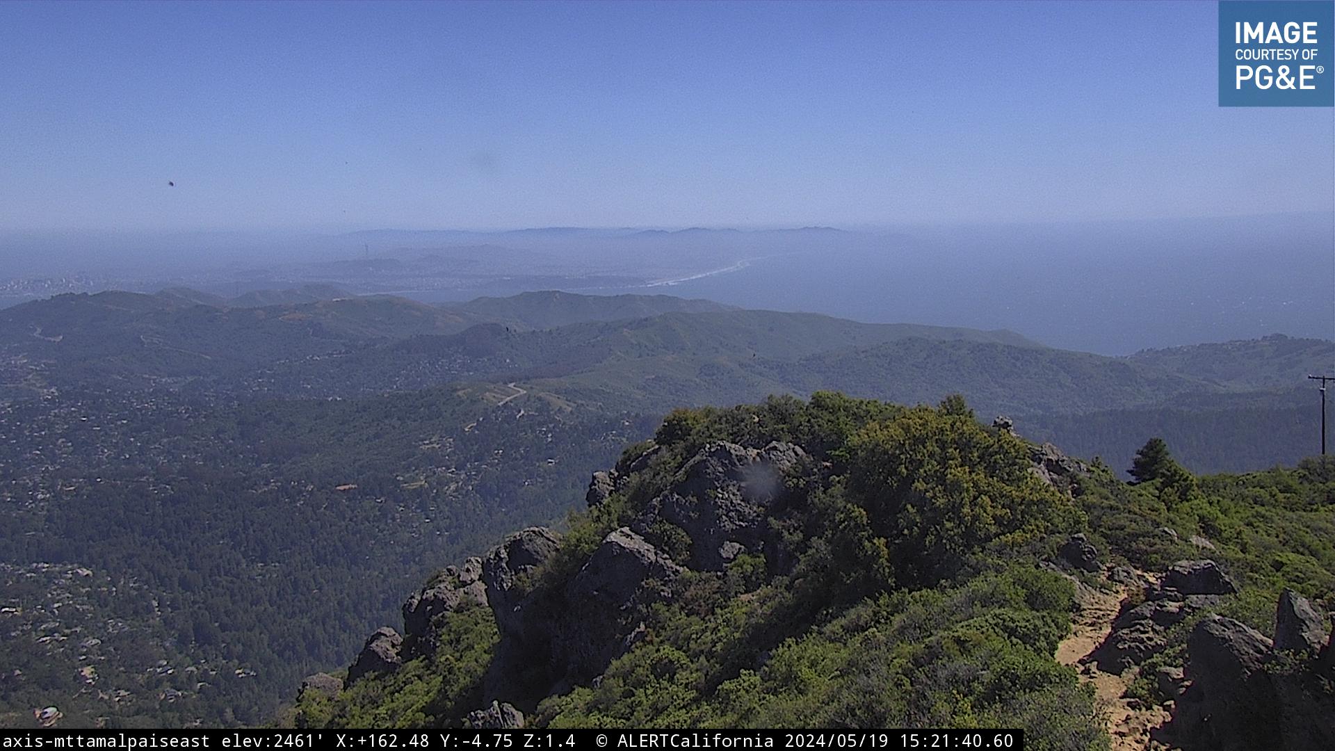
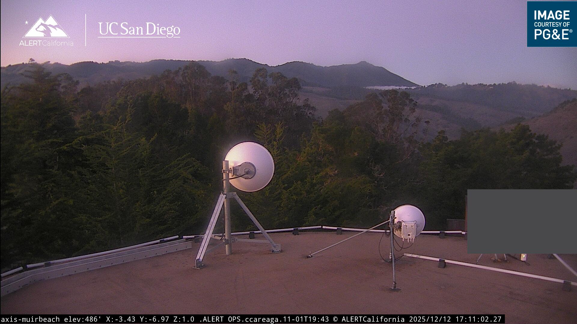
Tiburon Cam | Tam Cam multiple webcams in various locations |
|
|
|
|
|
|

Precautions | (Although our medium is AIR, we must also beware of fire and water:) |
Click here to check tides
High tides can be an issue in years when our beach sand is low. Hover over chart for precise numbers. |
Click here to check for red flag warnings 
The NWS issues Red Flag warnings for areas where fire danger is extreme. At such times, the park will be closed to vehicle traffic. |
Wind and Weather links
Windy.com 
Animated wind lines for any date/time and altitude |
Wundermap 
Satellite and radar images with animation |
NOAA Geostationary Satellites 
|
Zoom Earth
|
|
Remote Access Weather Station Mt. Tam - Middle Peak 
Hourly wind & weather observations |
Aviation weather forecast 
San Francisco Bay Area |
Weather Data by phone
| Mt. Tamalpais: (discontinued) (Jr.) | Mt. Diablo: (925) 838-9225 |
| Stinson Beach: (415) 868-1922 | Ed Levin: (408) 946-9516 |
| Fort Funston: (415) 333-0100 | WOR Soaring Forecast: (408) 973-1976 |
Maintained by: webmaster@mchga.org
Copyright © 2002-2026 Marin County Hang Gliding Association, Inc.
Copyright © 2002-2026 Marin County Hang Gliding Association, Inc.